
Il plotter si avvia, il simbolo della barca si muove e la rotta salvata appare sullo schermo: tre segnali utili, ma nessuno prova che il sistema sia pronto. La cartografia può essere incompleta, non aggiornata, limitata alla scala sbagliata o dipendente da un’unica alimentazione. La verifica tecnica deve distinguere dati cartografici, software, ricevitore di posizione, display e circuito elettrico. Solo dopo questa separazione è possibile collaudare copertura, aggiornamenti, allarmi e continuità. La checklist seguente serve a controllare la configurazione reale, senza trasformare un’app generica o una mappa preinstallata in una dotazione conforme per semplice consuetudine.
1. Identifica prima la fascia di navigazione
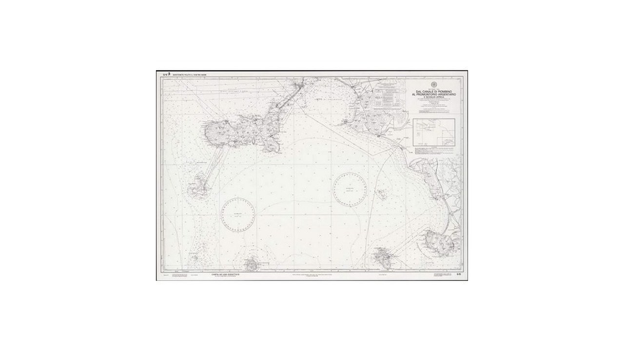
Nell’Allegato V vigente, carte nautiche della zona e strumenti da carteggio risultano obbligatori nelle colonne senza limite ed entro cinquanta miglia. Non compaiono nelle fasce entro dodici, sei, tre e un miglio, entro trecento metri o nelle acque interne. La prima casella della checklist chiede quindi qual è la massima distanza dalla costa raggiunta dall’intero itinerario. Non si usa la patente posseduta, la capacità teorica della barca o il percorso abituale: si considera la navigazione realmente pianificata. Se il programma cambia, il controllo deve essere riaperto.
2. Registra il prodotto cartografico installato
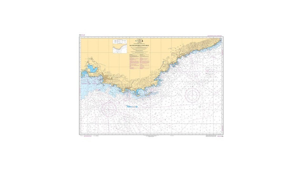
Annota nome del pacchetto, area, edizione o versione, dispositivo sul quale è attivo e documentazione associata. Il decreto 2 luglio 1999 n. 274 consente la sostituzione delle carte cartacee con sistemi elettronici di ausilio che impiegano cartografia digitale conforme ai contenuti della cartografia ufficiale. La tabella aggiornata richiama inoltre il decreto ministeriale pubblicato nella Gazzetta Ufficiale del 19 agosto 2002. Non basta scrivere “mappe aggiornate”: occorre poter riconoscere che cosa è effettivamente caricato. Una licenza acquistata e mai attivata non chiude la verifica.
3. Distingui cartografia, app e apparato
Lo stesso pacchetto può essere visualizzato su apparati diversi; lo stesso display può mostrare prodotti diversi. Per questo la checklist assegna tre righe autonome: contenuto cartografico, programma di presentazione e hardware. Un aggiornamento del firmware non aggiorna necessariamente le carte. Un rinnovo dell’abbonamento non dimostra che il file sia stato scaricato sul plotter. Un ricevitore GNSS funzionante non corregge una copertura vecchia. La separazione rende visibile il punto debole e impedisce di accettare come prova una schermata generica priva delle informazioni di versione.
4. Controlla la copertura senza affidarti al nome
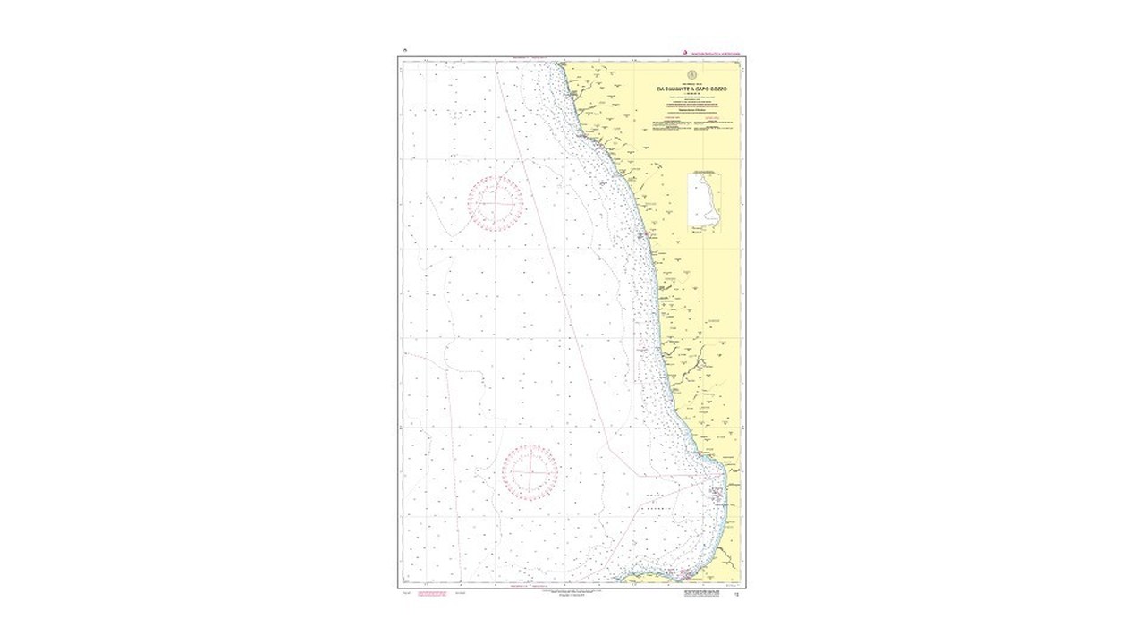
Apri fisicamente l’area di partenza, la rotta, le deviazioni possibili, gli approdi alternativi e la destinazione. I nomi commerciali di una regione possono nascondere limiti, celle mancanti o livelli di dettaglio differenti. Scorri la linea di costa e verifica che il pacchetto non termini in un punto critico. La copertura deve includere lo spazio necessario a cambiare rotta per meteo, traffico o avaria. Se l’apparato richiede il download preventivo, eseguilo prima di perdere la rete. La disponibilità nel catalogo online non significa disponibilità offline a bordo.
5. Verifica ogni scala richiesta dalla tratta
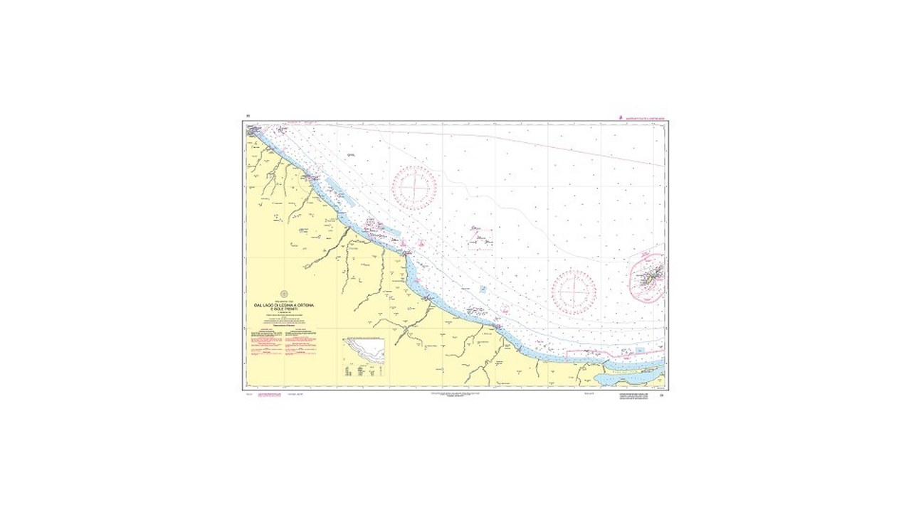
La vista generale serve per orientare il percorso, ma non sostituisce una carta costiera o un piano portuale. Ingrandisci i punti critici e osserva se il sistema passa a dati di scala appropriata oppure si limita ad ampliare la stessa informazione. Il sovra-ingrandimento produce simboli grandi senza creare nuovi rilievi. Registra quali carte o celle coprono traversata, costa, accessi e porto. Per ogni cambio di fase definisci una scala di lavoro e una vista di controllo. Una sola schermata lasciata sempre allo stesso livello non è una procedura tecnica.
6. Verifica aggiornamento disponibile, scaricato e attivo
Sono tre stati diversi. Il servizio può annunciare un aggiornamento, il dispositivo può scaricarlo e il software può ancora utilizzare una versione precedente finché non viene installata o riavviata. La checklist registra data dell’ultimo controllo, data del pacchetto e conferma sull’apparato principale. Per le carte cartacee si mantiene una traccia ordinata delle correzioni applicate. Gli Avvisi ai Naviganti comunicano variazioni che possono riguardare pericoli, segnalamenti e assetto portuale. La manutenzione cartografica non può essere rinviata al momento in cui un simbolo appare diverso dal panorama reale.
7. Controlla posizione, datum e sensori separatamente
Il simbolo della barca dipende dal ricevitore e dalle impostazioni, non dalla qualità intrinseca della carta. Verifica stato del GNSS, antenna, eventuali sensori di prua e parametri dichiarati dall’apparato. Un punto apparentemente stabile non esclude errori di configurazione. Se la posizione viene distribuita attraverso una rete di bordo, individua quale interruzione la rende indisponibile a tutti i display. Il confronto con riferimenti osservabili va fatto con prudenza e senza deduzioni improvvisate: correnti, vento, datum e precisione del dato hanno effetti diversi. Le anomalie vanno annotate prima di intervenire.
8. Imposta profondità e margini con un criterio scritto
Pescaggio, assetto, moto ondoso e incertezza determinano il margine, non un valore copiato da un’altra unità. Controlla unità di misura, contorno di sicurezza, ombreggiatura e allarme di acque basse. Verifica che il sistema mostri ciò che pensi di aver impostato. Un valore troppo basso nasconde il rischio; uno troppo conservativo può riempire lo schermo di avvisi inutili. La checklist conserva il criterio, così un tecnico o un altro comandante possono capire perché è stata scelta quella soglia. Dopo variazioni di carico o configurazione, la riga viene riesaminata.
9. Esamina la rotta segmento per segmento
Non approvare in blocco una linea generata automaticamente. Apri ogni tratto, ogni punto di accostata e ogni passaggio vicino a un pericolo. Controlla profondità, ostacoli, aree regolamentate, segnalamenti, spazio di manovra e approdi possibili. Verifica che i waypoint non siano stati spostati durante uno zoom o una modifica. La funzione di autorouting può aiutare a preparare, ma non sostituisce l’esame. Salva una revisione riconoscibile soltanto dopo il controllo e impedisci che una vecchia rotta con lo stesso nome venga scelta per errore.
10. Collauda gli allarmi, non limitarti ad abilitarli
Fuori rotta, arrivo, profondità, perdita di posizione e alimentazione richiedono una prova controllata. Verifica suono, visibilità, volume e comportamento quando il display è in modalità notturna. Se più apparati ripetono lo stesso avviso, assicurati che l’equipaggio sappia identificarne la causa. Un allarme silenziato durante una manovra può restare disattivato per la tratta successiva. La checklist registra stato e prova, non soltanto la presenza della funzione nel manuale. Evita simulazioni che possano comandare autopilota o altri sistemi senza un ambiente sicuro e personale competente.
11. Mappa alimentazione, protezioni e dipendenze
Segui il circuito dal quadro a display, ricevitore, rete dati e memoria cartografica. Identifica fusibili, interruttori, connettori e punti comuni. Due schermi collegati allo stesso ramo non costituiscono una ridondanza completa. Anche un tablet indipendente perde valore se le carte richiedono la rete proprio durante l’avaria. Registra autonomia dichiarata e stato delle batterie alternative, evitando di stimare prestazioni non misurate. Dopo interventi elettrici si ripete la prova. L’obiettivo non è creare una plancia complessa, ma sapere esattamente quale guasto spegne quali funzioni.
12. Verifica gli strumenti da carteggio
La disciplina elenca gli strumenti da carteggio su una riga autonoma accanto alle carte, nelle fasce senza limite ed entro cinquanta miglia. Sul supporto cartaceo controlla integrità, compatibilità con il formato, accessibilità e spazio di utilizzo. Sul sistema elettronico verifica le funzioni di misura e la capacità dell’operatore di usarle correttamente. Distanza e rilevamento devono essere ottenuti in modo ripetibile. Una funzione nascosta in un menu non è operativa se nessuno sa richiamarla. La prova viene eseguita prima della partenza e ripetuta da almeno una seconda persona.
13. Usa una tabella di collaudo ripetibile
| Controllo | Esito richiesto | Azione se negativo |
|---|---|---|
| Identità | Prodotto e versione leggibili | Recuperare documentazione |
| Copertura | Rotta e alternative presenti | Integrare il pacchetto |
| Aggiornamento | Pacchetto attivo verificato | Installare e ricontrollare |
| Energia | Dipendenze conosciute | Correggere schema o impianto |
| Backup | Passaggio completato | Ripristinare la continuità |
Ogni esito deve essere osservabile. “Sembra aggiornato” non è una prova; versione e data lo sono. “C’è un secondo display” non dimostra indipendenza; lo schema e la prova di spegnimento controllato chiariscono la dipendenza. La tabella può essere breve, purché venga firmata, datata e riaperta quando cambiano area, software, apparato o cablaggio.
14. Prepara un backup realmente indipendente
Definisci lo scenario di guasto: perdita del display, del ricevitore, della rete dati o dell’alimentazione principale. Il sistema alternativo deve essere utilizzabile proprio in quello scenario. Se è elettronico, controlla cartografia offline, carica, protezione, conformità e credenziali. Se è cartaceo, controlla area, scala, correzioni, strumenti e illuminazione. Non considerare sufficiente un dispositivo che dipende dalla stessa antenna o dallo stesso circuito. La ridondanza non richiede necessariamente duplicazioni costose, ma richiede separazione ragionata e una procedura che l’equipaggio abbia davvero provato.
15. Esegui una prova di guasto in porto
In condizioni controllate rendi indisponibile l’apparato principale attraverso una procedura sicura, senza rimuovere protezioni né interrompere sistemi critici. Chiedi a un secondo operatore di recuperare il backup, individuare posizione, aprire la carta corretta e leggere il prossimo tratto. Cronometra il passaggio e annota problemi: batteria scarica, password, file assente, carta irraggiungibile, illuminazione insufficiente. Ripristina tutto e verifica che allarmi e configurazione siano tornati normali. La prova va ripetuta dopo refit, aggiornamenti importanti o cambi di equipaggio.
16. Mantieni un registro essenziale
Il registro riporta data, operatore, area, versione, aggiornamenti installati, risultato della prova e anomalie aperte. Non deve contenere dati inutili; deve permettere di ricostruire lo stato del sistema. Conserva anche schema essenziale delle alimentazioni, istruzioni per il passaggio al backup e identificazione delle carte cartacee eventualmente imbarcate. Una fotografia può documentare una schermata, ma non sostituisce la lettura delle informazioni di sistema. Il registro segue la barca e viene consegnato a chi assume il comando, così la configurazione non resta nella memoria di una sola persona.
17. Controlla ergonomia e modalità notturna
Verifica leggibilità dal posto di governo, riflessi, condensa, spruzzi, dimmer e accesso ai comandi. La modalità notturna deve ridurre l’abbagliamento senza nascondere dettagli o allarmi. Sul cartaceo prepara una luce adeguata e una superficie protetta. Controlla che il supporto alternativo possa essere usato con barca in movimento senza bloccare comandi o passaggi. Se la plancia viene modificata, ripeti la prova con tendalini, porte e sedute nelle posizioni normali. La posizione fisica è parte dell’impianto, non un dettaglio estetico.
18. Chiudi la checklist prima di mollare gli ormeggi
Conferma fascia di navigazione, prodotto identificato, copertura completa, scale appropriate, aggiornamento attivo, GNSS disponibile, soglie motivate, rotta verificata, allarmi provati, strumenti presenti e backup indipendente. Apri in anticipo partenza, punti critici, porto alternativo e arrivo. Verifica che almeno due persone sappiano cambiare scala, misurare, riconoscere una perdita di posizione e passare al sistema alternativo. Se resta una casella incerta, non dichiarare pronto il plotter. Uno schermo funzionante può essere soltanto l’ultima parte di una catena non collaudata.
Dopo l’uscita, registra differenze, allarmi inattesi e difficoltà d’uso. Non correggere a caso una discrepanza fra schermo e osservazione: raccogli posizione, condizioni e impostazioni, poi fai analizzare il problema con metodo. La cartografia elettronica è potente quando dati, apparati, alimentazione e operatori sono verificati come un unico sistema. La checklist trasforma questa integrazione da impressione a processo ripetibile e riduce il rischio che una configurazione apparentemente moderna fallisca nel momento in cui serve davvero.