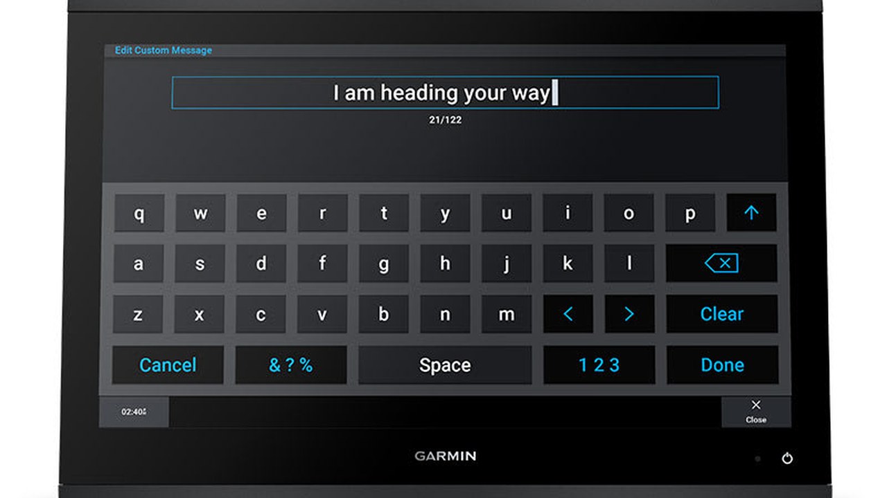
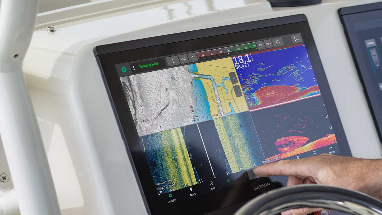
Un chartplotter acceso puo mostrare una carta elegante e, nello stesso tempo, usare unita errate, una sorgente duplicata o un dato non aggiornato. la procedura parte dal codice completo del Garmin GPSMAP x3 installato e separa display, cartografia, posizione, reti NMEA, rete Garmin, sonar e periferiche. Ogni funzione viene verificata nel suo percorso completo, dal sensore alla schermata, e poi sottoposta a una perdita controllata della sorgente. Solo cosi la plancia informa davvero il timoniere invece di limitarsi ad accendersi.
Registrare il codice completo del chartplotter
la procedura parte dal part number, non dalla sola diagonale. La famiglia GPSMAP x3 comprende varianti di misura, cartografia e sonar: ogni prova viene collegata all unita realmente installata. Il controllo 1 registra stato iniziale, strumento usato, esito e criterio di arresto. Si modifica una sola variabile per volta e, dopo ogni correzione, si ripetono le prove influenzate con il quadro nella configurazione finale. Schermate e fotografie restano nel verbale insieme ai codici dei componenti e alle sorgenti attive. Quando un manuale o una compatibilita non sono disponibili, la funzione resta non approvata e non viene simulata con dati arbitrari.
Mettere in sicurezza la configurazione
Prima dell intervento si esportano waypoint, rotte e impostazioni secondo le funzioni disponibili. Si fotografa il cablaggio e si annotano software, schede e periferiche, senza affidare il ripristino alla memoria dell operatore. Il controllo 2 registra stato iniziale, strumento usato, esito e criterio di arresto. Si modifica una sola variabile per volta e, dopo ogni correzione, si ripetono le prove influenzate con il quadro nella configurazione finale. Schermate e fotografie restano nel verbale insieme ai codici dei componenti e alle sorgenti attive. Quando un manuale o una compatibilita non sono disponibili, la funzione resta non approvata e non viene simulata con dati arbitrari.
Controllare incasso, staffa e guarnizione
Si verificano fissaggi, planarita, ventilazione, drenaggio e accesso posteriore. Una cornice apparentemente stabile puo nascondere tensioni sulla scocca o una guarnizione discontinua che richiedono correzione. Il controllo 3 registra stato iniziale, strumento usato, esito e criterio di arresto. Si modifica una sola variabile per volta e, dopo ogni correzione, si ripetono le prove influenzate con il quadro nella configurazione finale. Schermate e fotografie restano nel verbale insieme ai codici dei componenti e alle sorgenti attive. Quando un manuale o una compatibilita non sono disponibili, la funzione resta non approvata e non viene simulata con dati arbitrari.
Provare leggibilita di giorno e di notte
Luminosita, palette, retroilluminazione e angolo vengono verificati dalla posizione reale del timoniere. Di notte lo schermo non deve cancellare la visione esterna; di giorno i dati critici devono restare leggibili. Il controllo 4 registra stato iniziale, strumento usato, esito e criterio di arresto. Si modifica una sola variabile per volta e, dopo ogni correzione, si ripetono le prove influenzate con il quadro nella configurazione finale. Schermate e fotografie restano nel verbale insieme ai codici dei componenti e alle sorgenti attive. Quando un manuale o una compatibilita non sono disponibili, la funzione resta non approvata e non viene simulata con dati arbitrari.
| Blocco | Decisione documentata | Controllo prima della consegna |
|---|---|---|
| Display | Formato, risoluzione e comando | Leggibilita da tutte le postazioni |
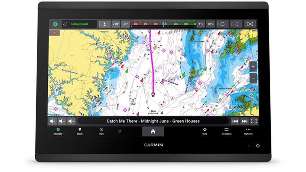
| Cartografia | Copertura, scheda e aggiornamenti | Area reale aperta e verificata |
| Rete | NMEA 2000, NMEA 0183 e rete Garmin | Sorgenti nominate senza conflitti |
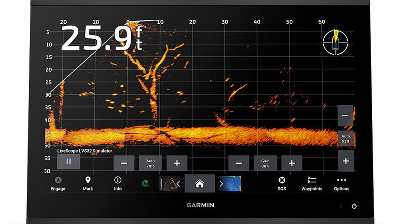
| Sonar | Versione e trasduttore compatibile | Frequenze e profondita provate |
| Energia | Linea, protezione e caduta | Misura al carico massimo previsto |
| Consegna | Backup, as-built e procedura degradata | Verbale firmato dall’equipaggio |
Verificare la cartografia installata
La scheda e la copertura vengono identificate aprendo l area di navigazione prevista. Si controllano data, abbonamento o aggiornamenti applicabili, memoria disponibile e presenza di eventuali avvisi sul prodotto cartografico. Il controllo 5 registra stato iniziale, strumento usato, esito e criterio di arresto. Si modifica una sola variabile per volta e, dopo ogni correzione, si ripetono le prove influenzate con il quadro nella configurazione finale. Schermate e fotografie restano nel verbale insieme ai codici dei componenti e alle sorgenti attive. Quando un manuale o una compatibilita non sono disponibili, la funzione resta non approvata e non viene simulata con dati arbitrari.
Controllare posizione, datum e unita
La posizione viene confrontata in un punto noto e si verificano datum, formato coordinate, fuso, profondita, distanza e velocita. Unita sbagliate possono rendere coerente la grafica ma pericolosa la decisione. Il controllo 6 registra stato iniziale, strumento usato, esito e criterio di arresto. Si modifica una sola variabile per volta e, dopo ogni correzione, si ripetono le prove influenzate con il quadro nella configurazione finale. Schermate e fotografie restano nel verbale insieme ai codici dei componenti e alle sorgenti attive. Quando un manuale o una compatibilita non sono disponibili, la funzione resta non approvata e non viene simulata con dati arbitrari.
Non confondere pianificazione e rotta sicura
Le indicazioni automatiche vengono trattate come suggerimenti di pianificazione. la procedura impone confronto con cartografia ufficiale, avvisi, pescaggio, altezza, condizioni e osservazione prima di accettare un percorso. Il controllo 7 registra stato iniziale, strumento usato, esito e criterio di arresto. Si modifica una sola variabile per volta e, dopo ogni correzione, si ripetono le prove influenzate con il quadro nella configurazione finale. Schermate e fotografie restano nel verbale insieme ai codici dei componenti e alle sorgenti attive. Quando un manuale o una compatibilita non sono disponibili, la funzione resta non approvata e non viene simulata con dati arbitrari.
Ispezionare alimentazione sotto carico
Si identifica linea, fusibile, massa e sezione, poi si misura la tensione al display con luminosita elevata e rete attiva. Riavvii, cadute o connettori caldi aprono una diagnosi e bloccano la consegna. Il controllo 8 registra stato iniziale, strumento usato, esito e criterio di arresto. Si modifica una sola variabile per volta e, dopo ogni correzione, si ripetono le prove influenzate con il quadro nella configurazione finale. Schermate e fotografie restano nel verbale insieme ai codici dei componenti e alle sorgenti attive. Quando un manuale o una compatibilita non sono disponibili, la funzione resta non approvata e non viene simulata con dati arbitrari.
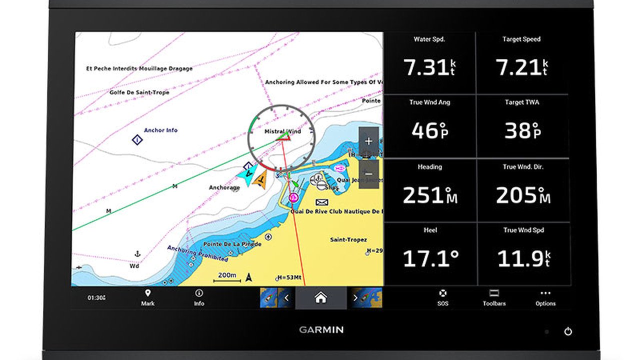
Controllare il backbone NMEA 2000
Terminazioni, alimentazione, derivazioni e connettori vengono seguiti fisicamente. L elenco dispositivi deve mostrare sorgenti attese senza duplicazioni inspiegate, e ogni istanza viene nominata in modo riconoscibile. Il controllo 9 registra stato iniziale, strumento usato, esito e criterio di arresto. Si modifica una sola variabile per volta e, dopo ogni correzione, si ripetono le prove influenzate con il quadro nella configurazione finale. Schermate e fotografie restano nel verbale insieme ai codici dei componenti e alle sorgenti attive. Quando un manuale o una compatibilita non sono disponibili, la funzione resta non approvata e non viene simulata con dati arbitrari.
Verificare gli ingressi NMEA 0183
Per ogni coppia si registrano trasmettitore, ricevitore, velocita e frasi previste. La ricezione intermittente viene diagnosticata sul collegamento reale, senza cambiare piu impostazioni contemporaneamente. Il controllo 10 registra stato iniziale, strumento usato, esito e criterio di arresto. Si modifica una sola variabile per volta e, dopo ogni correzione, si ripetono le prove influenzate con il quadro nella configurazione finale. Schermate e fotografie restano nel verbale insieme ai codici dei componenti e alle sorgenti attive. Quando un manuale o una compatibilita non sono disponibili, la funzione resta non approvata e non viene simulata con dati arbitrari.
Provare la rete Garmin
Condivisione di cartografia, sonar, radar o dati viene testata un servizio alla volta. Si scollega solo secondo procedura e si osserva come ogni schermo segnala la perdita della sorgente, evitando guasti indotti. Il controllo 11 registra stato iniziale, strumento usato, esito e criterio di arresto. Si modifica una sola variabile per volta e, dopo ogni correzione, si ripetono le prove influenzate con il quadro nella configurazione finale. Schermate e fotografie restano nel verbale insieme ai codici dei componenti e alle sorgenti attive. Quando un manuale o una compatibilita non sono disponibili, la funzione resta non approvata e non viene simulata con dati arbitrari.
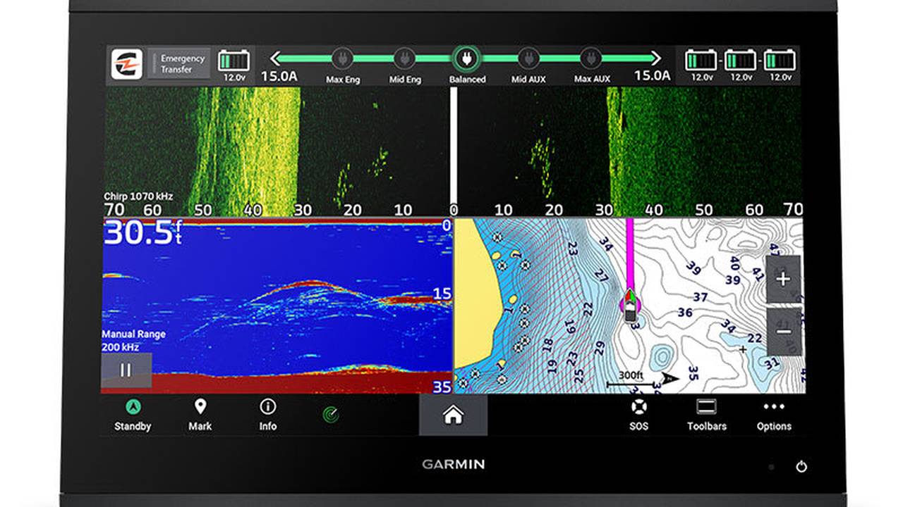
Validare motori e dati numerici
Giri, temperatura, pressione e altri dati compaiono solo se sorgente e gateway compatibili li forniscono. la procedura confronta valori e allarmi con gli strumenti o la diagnostica previsti dal costruttore del motore. Il controllo 12 registra stato iniziale, strumento usato, esito e criterio di arresto. Si modifica una sola variabile per volta e, dopo ogni correzione, si ripetono le prove influenzate con il quadro nella configurazione finale. Schermate e fotografie restano nel verbale insieme ai codici dei componenti e alle sorgenti attive. Quando un manuale o una compatibilita non sono disponibili, la funzione resta non approvata e non viene simulata con dati arbitrari.
Configurare AIS, DSC e allarmi
Identita, bersagli, soglie e filtri vengono verificati senza trasformare lo schermo in una parete di notifiche. Un allarme escluso o silenziato deve essere documentato e motivato, non dimenticato. Il controllo 13 registra stato iniziale, strumento usato, esito e criterio di arresto. Si modifica una sola variabile per volta e, dopo ogni correzione, si ripetono le prove influenzate con il quadro nella configurazione finale. Schermate e fotografie restano nel verbale insieme ai codici dei componenti e alle sorgenti attive. Quando un manuale o una compatibilita non sono disponibili, la funzione resta non approvata e non viene simulata con dati arbitrari.
Provare sonar e trasduttore
Sulla versione compatibile si registra modello del trasduttore, frequenze, offset e posizione. La prova distingue fondo, rumore e perdita di lettura a diverse velocita, evitando di correggere con valori inventati. Il controllo 14 registra stato iniziale, strumento usato, esito e criterio di arresto. Si modifica una sola variabile per volta e, dopo ogni correzione, si ripetono le prove influenzate con il quadro nella configurazione finale. Schermate e fotografie restano nel verbale insieme ai codici dei componenti e alle sorgenti attive. Quando un manuale o una compatibilita non sono disponibili, la funzione resta non approvata e non viene simulata con dati arbitrari.
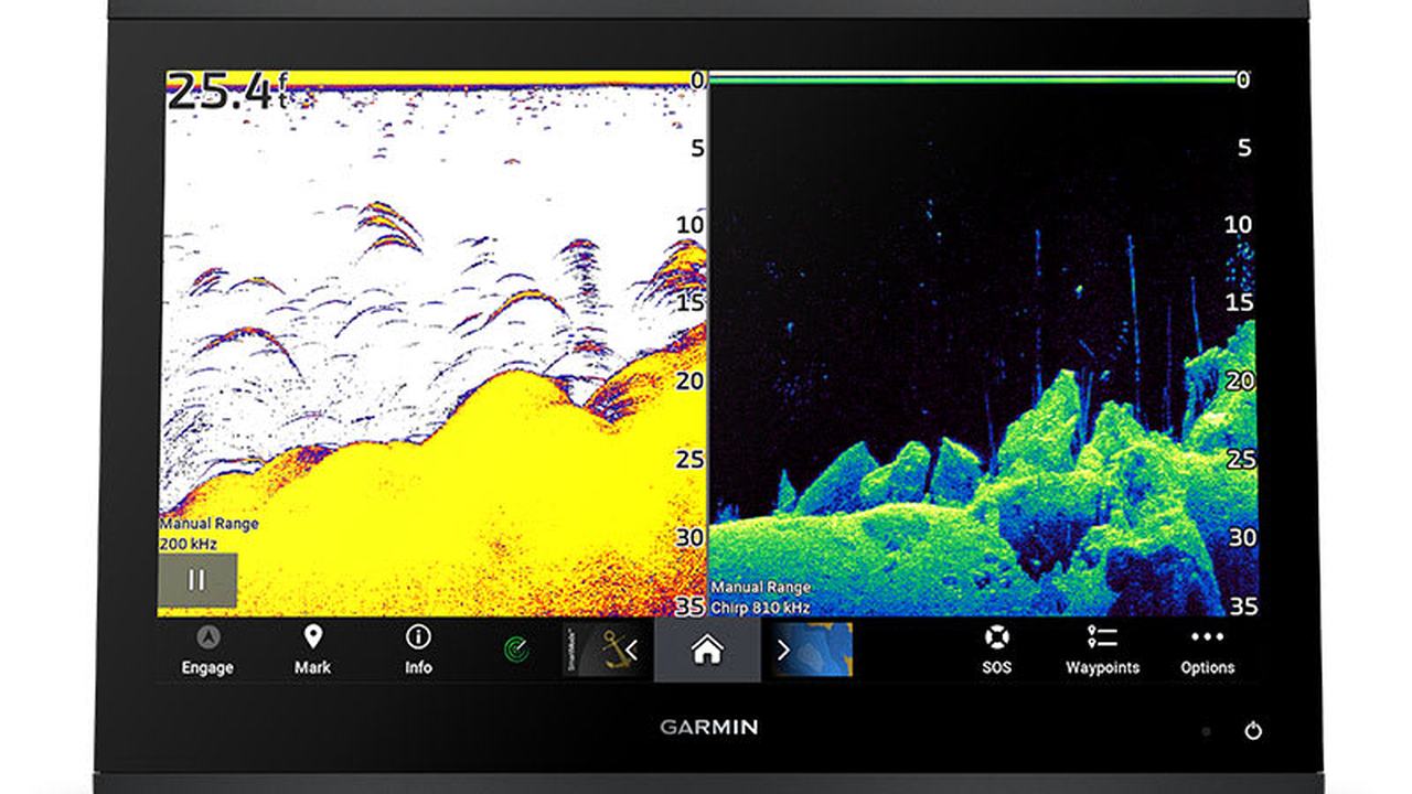
Controllare radar e sovrapposizioni
Allineamento, distanza e stato del radar vengono verificati secondo la documentazione del dispositivo collegato. Una sovrapposizione grafica convincente non sostituisce il collaudo della sorgente e della linea di fede. Il controllo 15 registra stato iniziale, strumento usato, esito e criterio di arresto. Si modifica una sola variabile per volta e, dopo ogni correzione, si ripetono le prove influenzate con il quadro nella configurazione finale. Schermate e fotografie restano nel verbale insieme ai codici dei componenti e alle sorgenti attive. Quando un manuale o una compatibilita non sono disponibili, la funzione resta non approvata e non viene simulata con dati arbitrari.
Testare touchscreen, tasti e pagine
Ogni comando deve rispondere con mani asciutte e nella postura di navigazione. Le pagine vengono semplificate per manovra, crociera e notte, con una via rapida verso allarmi e dati essenziali. Il controllo 16 registra stato iniziale, strumento usato, esito e criterio di arresto. Si modifica una sola variabile per volta e, dopo ogni correzione, si ripetono le prove influenzate con il quadro nella configurazione finale. Schermate e fotografie restano nel verbale insieme ai codici dei componenti e alle sorgenti attive. Quando un manuale o una compatibilita non sono disponibili, la funzione resta non approvata e non viene simulata con dati arbitrari.
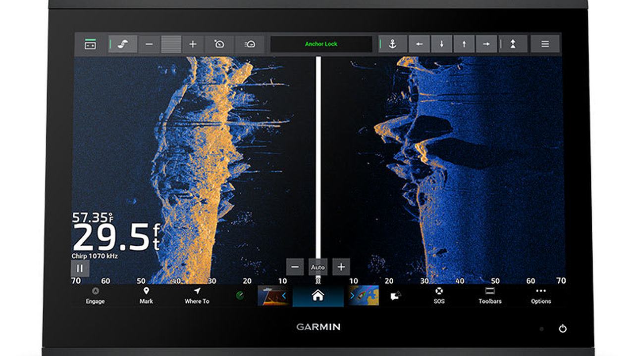
Simulare la perdita delle sorgenti
Si tolgono in modo controllato GPS, rete o sensore e si registra l indicazione prodotta. L obiettivo e verificare che il timoniere riconosca un dato vecchio, assente o sostituito da una sorgente diversa. Il controllo 17 registra stato iniziale, strumento usato, esito e criterio di arresto. Si modifica una sola variabile per volta e, dopo ogni correzione, si ripetono le prove influenzate con il quadro nella configurazione finale. Schermate e fotografie restano nel verbale insieme ai codici dei componenti e alle sorgenti attive. Quando un manuale o una compatibilita non sono disponibili, la funzione resta non approvata e non viene simulata con dati arbitrari.
Chiudere con backup e verbale
Si salvano configurazione e dati secondo le funzioni disponibili, si aggiorna l as-built e si consegnano elenco sorgenti, limiti e procedura degradata. Solo dopo la prova in navigazione il verbale viene chiuso. Il controllo 18 registra stato iniziale, strumento usato, esito e criterio di arresto. Si modifica una sola variabile per volta e, dopo ogni correzione, si ripetono le prove influenzate con il quadro nella configurazione finale. Schermate e fotografie restano nel verbale insieme ai codici dei componenti e alle sorgenti attive. Quando un manuale o una compatibilita non sono disponibili, la funzione resta non approvata e non viene simulata con dati arbitrari.